The Beaver Creek Environmental Atlas
The Beaver Creek Watershed is located in the Central Arizona Highlands, at the transition between the Basin and Range and
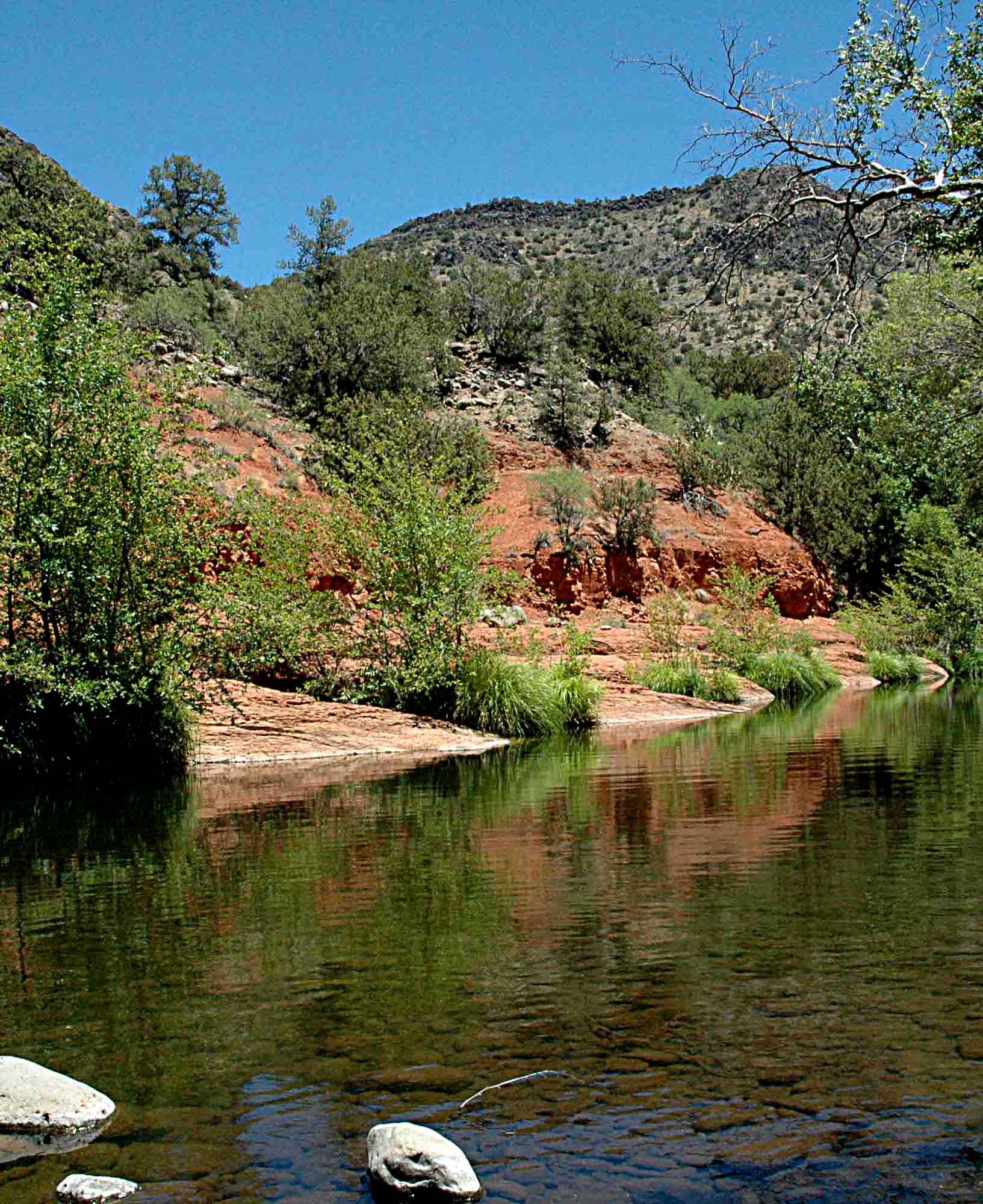
Colorado Plateau physiographic provinces. It is one of several drainages that dissect the Plateau's Mogollon Rim and drain into the southeast-flowing Verde River.
The watershed is a natural ecological laboratory, housing a wide variety of flora and fauna. The change in elevation within the watershed allows for a diverse habitat of ponderosa pine, juniper, and semi-desert brush. It is an excellent example of a typical southwestern U.S. hydrological system, with both perennial and intermittent reaches, drought-flood cycles, and hydraulically connected surface and groundwater. Within the watershed is a rich cultural and land use history that can be traced back to the Sinagua Indians that vanished from the area in the early 15th century. These factors and others combine to make the watershed a valuable tool for conservation research and education.
This site is intended to create an interface between education and research. It consists of an online digital atlas of the Beaver Creek Watershed that provides educational resources and promotes research coordination and collaboration. The major theme for this project is "Conserving Water Through the Ages," reflecting the influence of both culture and nature on the ecological history of the watershed.
|