Welcome to the Sinagua Circle!
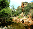
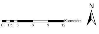
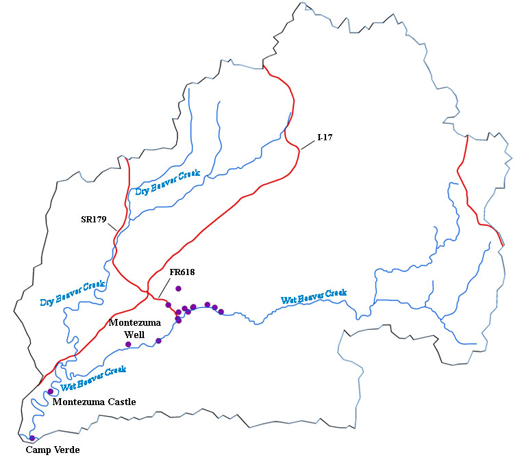
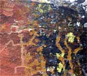
The Sinagua Circle is an informal name given to a roughly circular area that is bordered by the Verde River to the southwest, Clear Creek to the east, and Beaver Creek to the north and west, in which artifacts, ruins, petroglyphs, and other evidence of Sinagua existence have been found. Click on the points below to take a tour of the sites on Beaver Creek that illustrate water conservation through the ages.
Find petroglyphs, campgrounds, cliff dwellings, gaging stations, ancient travel routes, and more.
|
 |