Beaver Creek Maps Overview | Beaver Creek Watershed Maps | Virtual Tour of the Creek
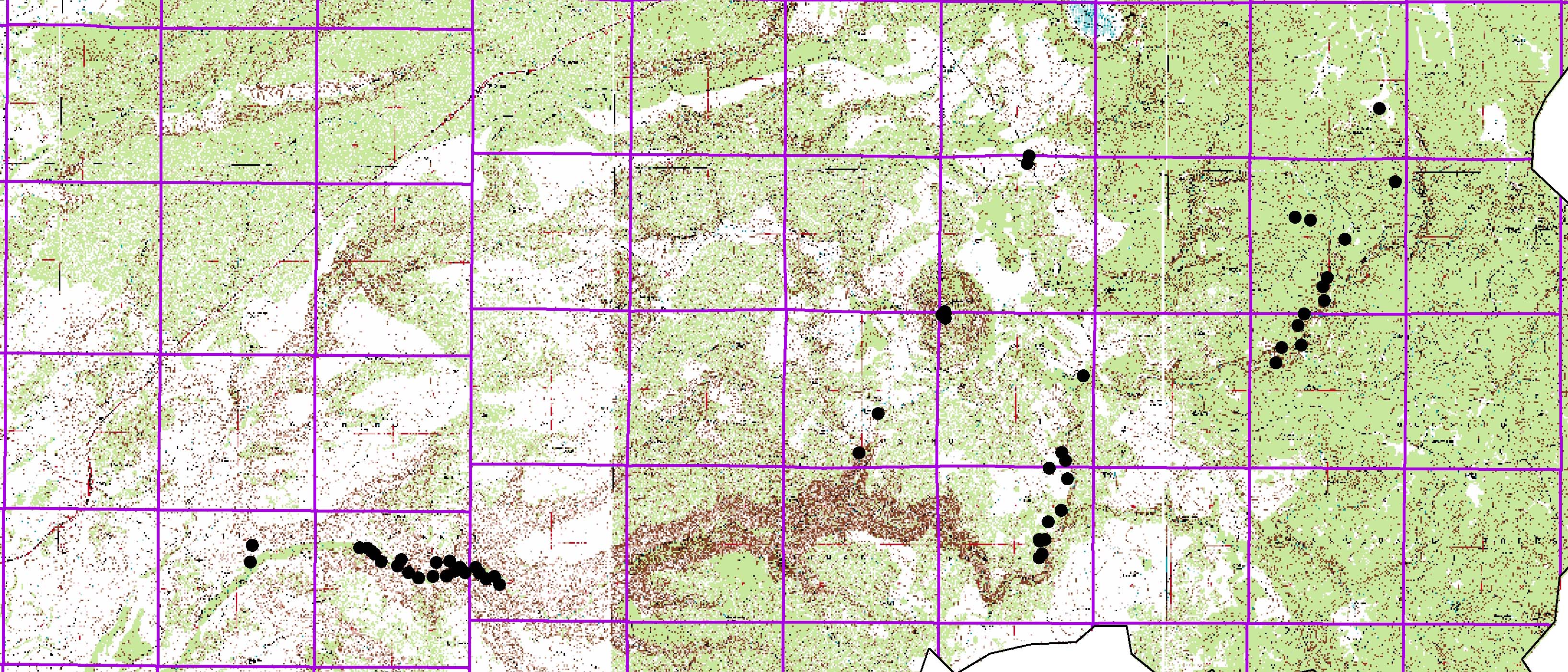
Topographic Map of Beaver Creek Click on the map to enlarge
Points on the maps link to 360 degree photos of Beaver Creek and detailed maps of the area. View different map types by clicking the tabs. All maps are divided into three sections.